")


The Pin Bhaba Pass Trek is one of Himachal Pradesh’s most stunning and dramatic crossover treks, offering a rare opportunity to experience two distinct Himalayan landscapes in a single journey. The trail connects the lush green valleys of Kinnaur with the stark, high-altitude deserts of Spiti, creating an unforgettable contrast of scenery and culture.
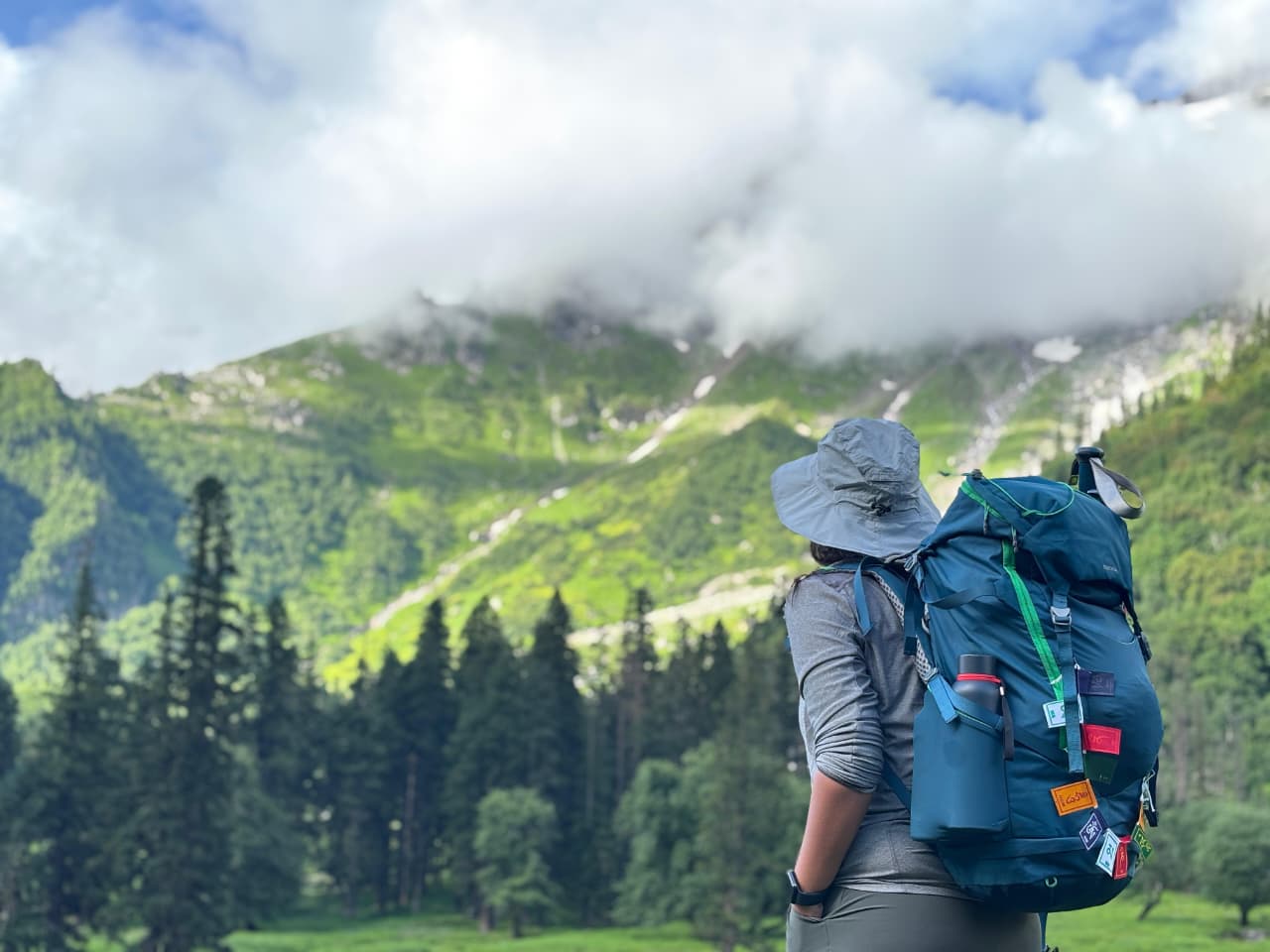
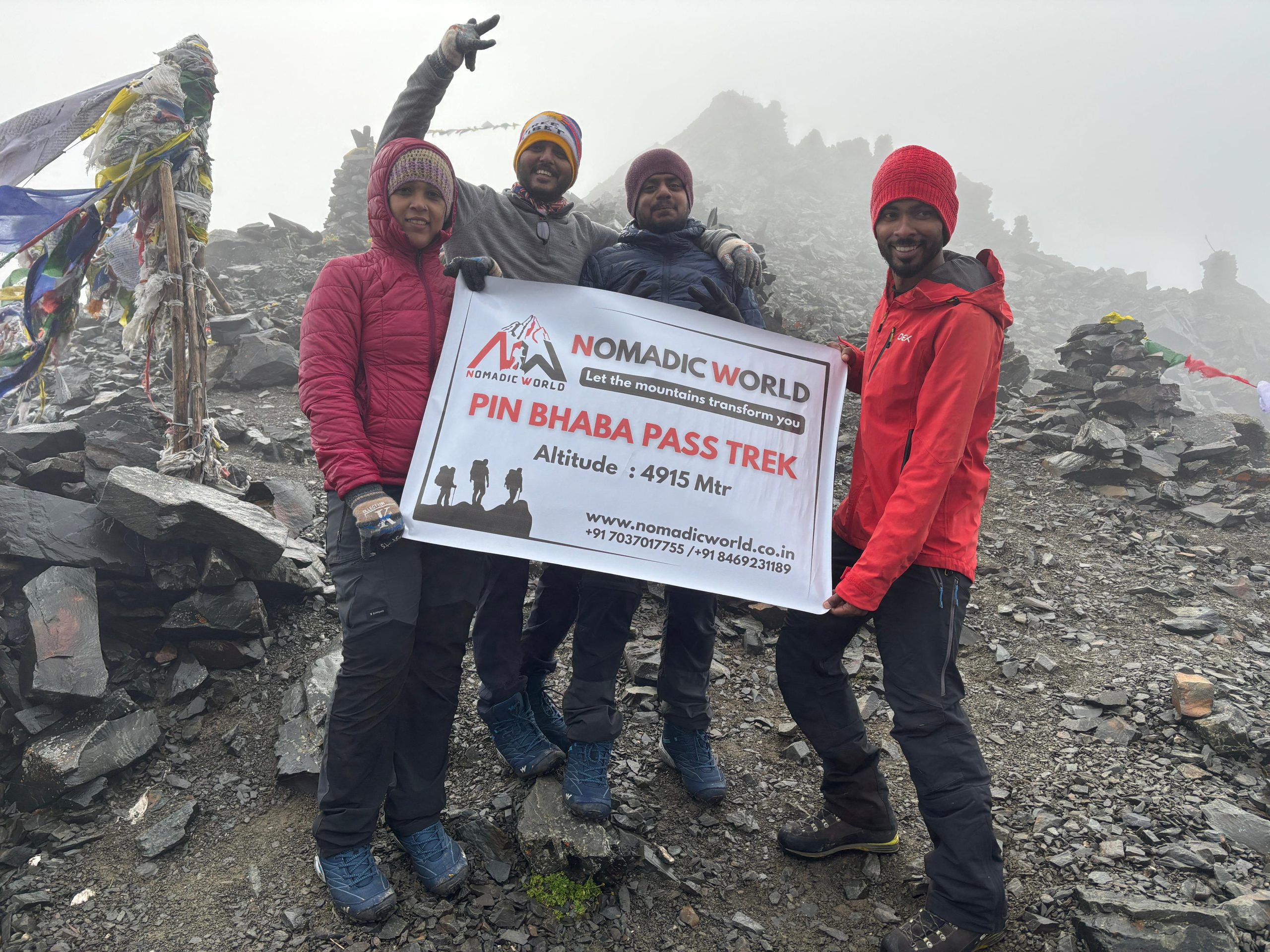
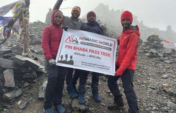
Starting from the quaint village of Kafnu (2,350 m), the route follows the Bhabha River through dense pine and deodar forests, vibrant alpine meadows, and high-altitude campsites such as Mulling, Kara, and Phustirang. The highlight of the trek is crossing the Pin Bhaba Pass (4,915 m / 16,125 ft), a vantage point offering panoramic views of snow-clad peaks on one side and the colourful, barren mountains of Spiti on the other.
The descent leads into the Pin Valley National Park, home to rare Himalayan wildlife and unique flora, before reaching the picturesque Mudh Village (3,810 m) in Spiti. The trek concludes with a scenic drive to Kaza, the cultural and commercial hub of Spiti Valley.
With a moderate difficulty level, diverse terrain, and unmatched natural beauty, the Pin Bhaba Pass Trek is perfect for trekkers seeking both adventure and the unparalleled visual diversity of the Himalayas.
Drive Distance: 203 km approx. | Drive Duration: 8-9 hours approx. | Altitude: Kafnu – 2350m | Pick up Point: ISBT, Tutikandi, Shimla | GPS DATA
Start early from Shimla, winding through scenic mountain roads via Narkanda—famous for its apple orchards—and Rampur, an old trade town on the banks of the Satluj. The drive offers panoramic views of snow-capped peaks, terraced fields, and dense deodar forests. As you follow the Satluj River upstream, the terrain becomes more rugged, with glimpses of hydro projects and charming roadside villages. By late evening, arrive in Kafnu, a serene Himalayan hamlet surrounded by pine forests and towering mountains. Check into your homestay or guesthouse, enjoy a hot meal, and rest for the trek ahead.
Trek Distance: 11.5 km approx. | Trek Duration: 6-7 hours approx.| Altitude: Mulling – 3250m | GPS DATA
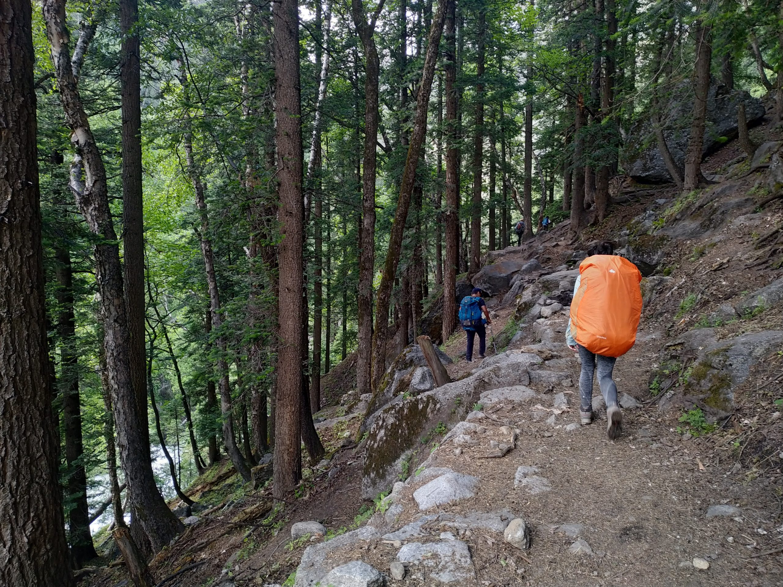
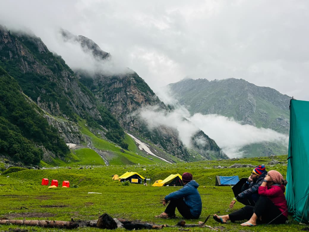
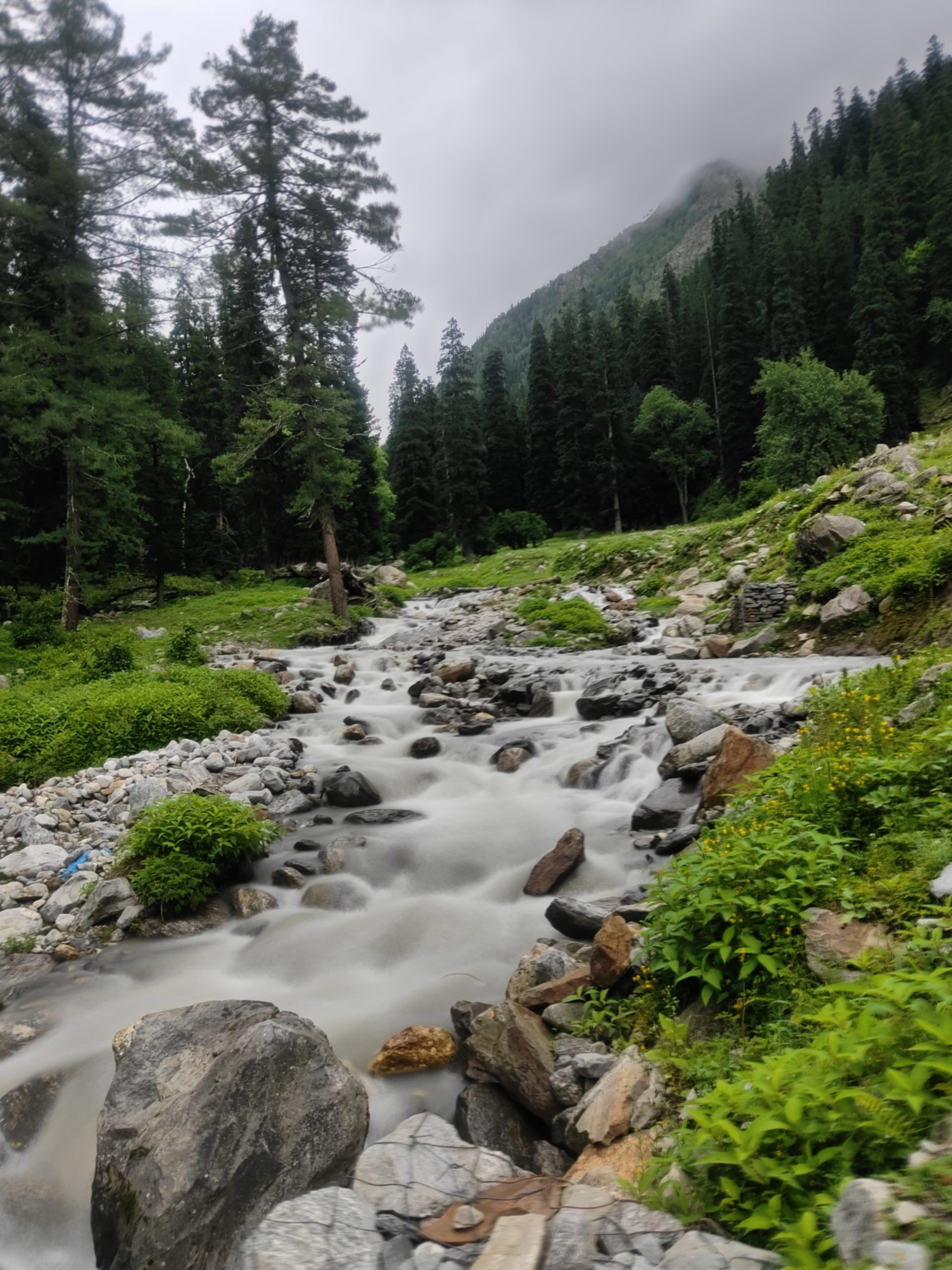
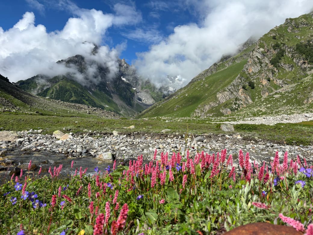
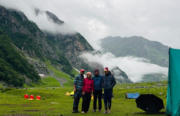
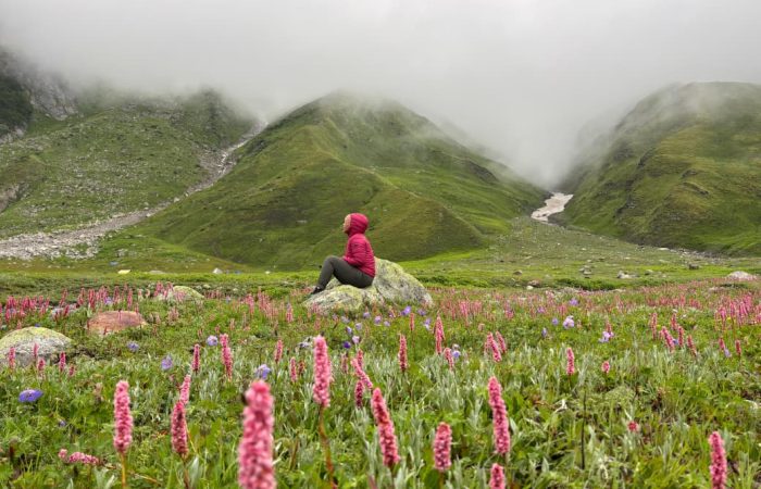
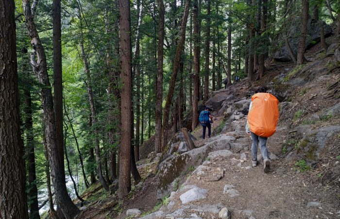
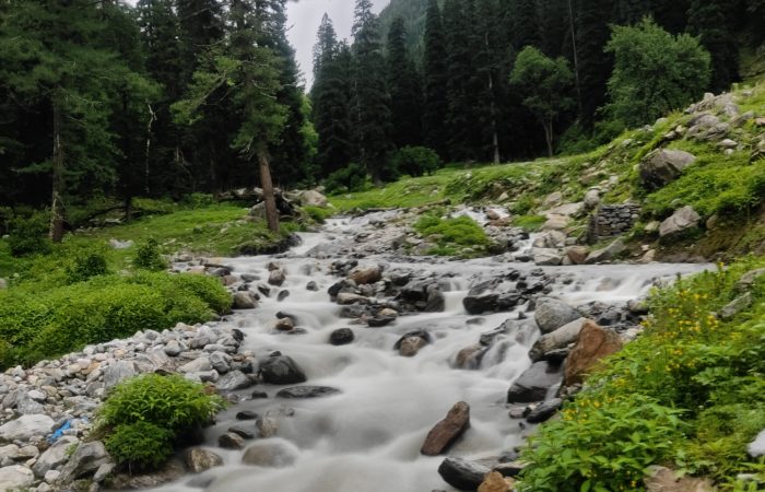
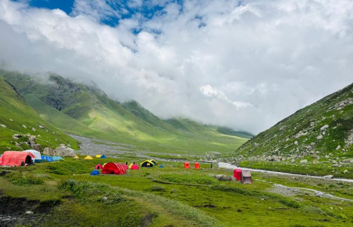
Start your trek from Kafnu, following the trail along the Bhabha River, surrounded by dense pine and deodar forests. Cross rustic wooden bridges and walk past apple orchards and small shepherd hamlets. As you gain altitude, the forest gradually gives way to open meadows dotted with wildflowers. The sound of gushing streams accompanies you through the valley, with occasional glimpses of snow-capped peaks in the distance. The final stretch climbs gently into the vast alpine meadow of Mulling, where you’ll camp for the night amidst towering mountains and star-lit skies.
Trek Distance: 5.5 km approx. | Trek Duration: 5-6 hours approx. | Altitude: Aali Bugyal– 3450 m | GPS DATA
The day’s trek takes you from the serene forested campsite of Ghairoli Patal into one of the most breathtaking alpine meadows in the country — Aali Bugyal. The trail begins with a gentle ascent through dense oak and rhododendron forests, where the fresh mountain air and occasional bird calls create a soothing start to the day.
As you climb higher, the tree line gradually recedes, and the landscape opens up to vast, undulating grasslands. The first sight of Aali Bugyal is truly magical — rolling green meadows stretching as far as the eye can see, framed by a stunning panorama of Himalayan peaks including Nanda Ghunti and Trishul.
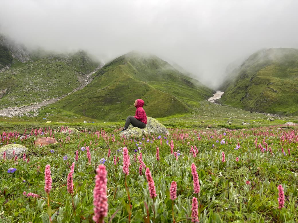
These high-altitude pastures, dotted with wildflowers in summer, are a photographer’s paradise and an ideal spot to rest, soak in the views, and enjoy the surreal silence of the mountains. The gentle slopes make this section a delight to walk, with every step revealing new perspectives of the surrounding ranges.
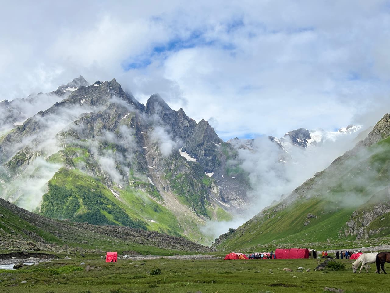
Trek Distance: 5 km approx. | Trek Duration: 5-6 hrs approx. | Altitude: Phustirang– 4100m | GPS DATA
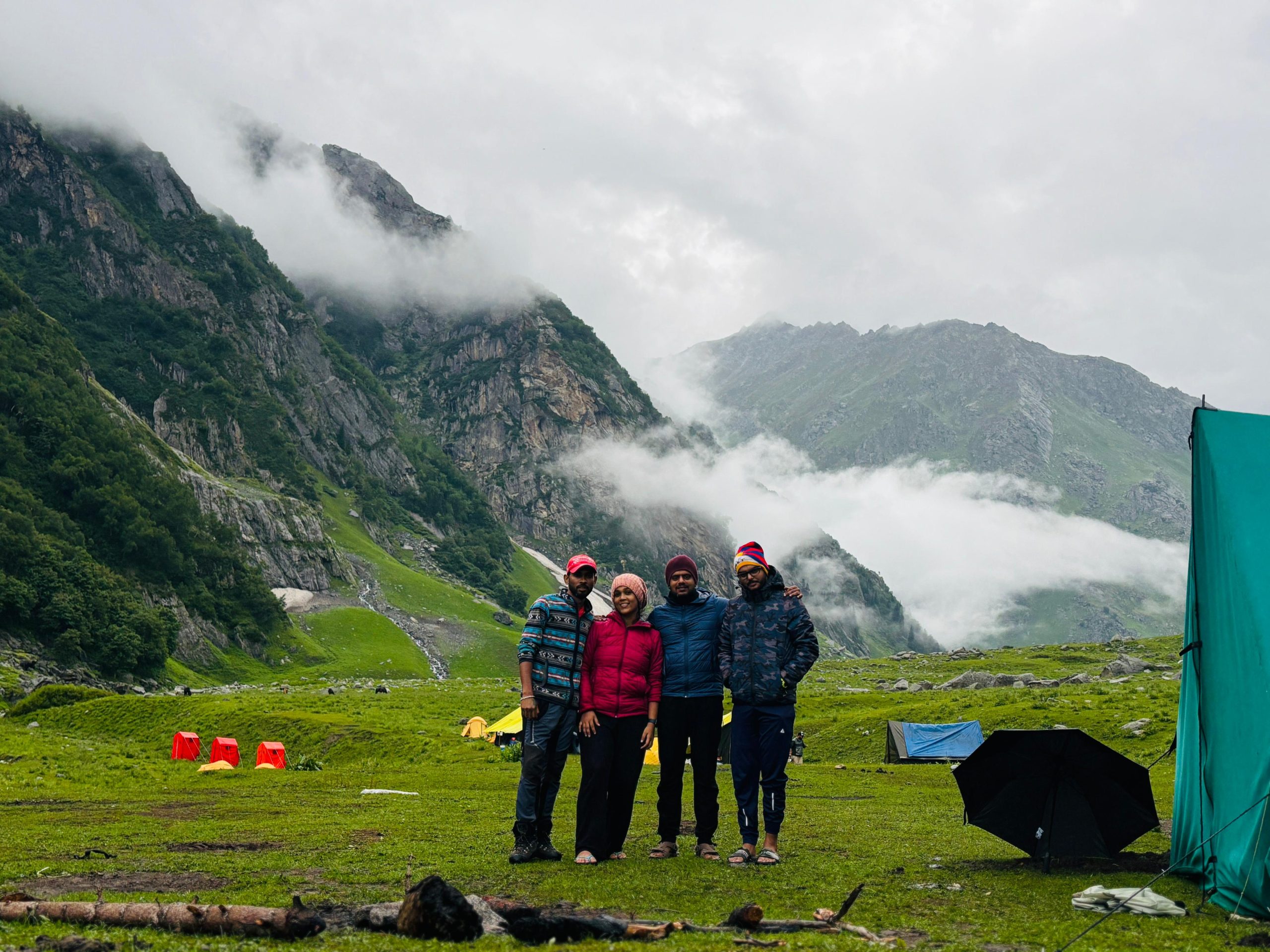
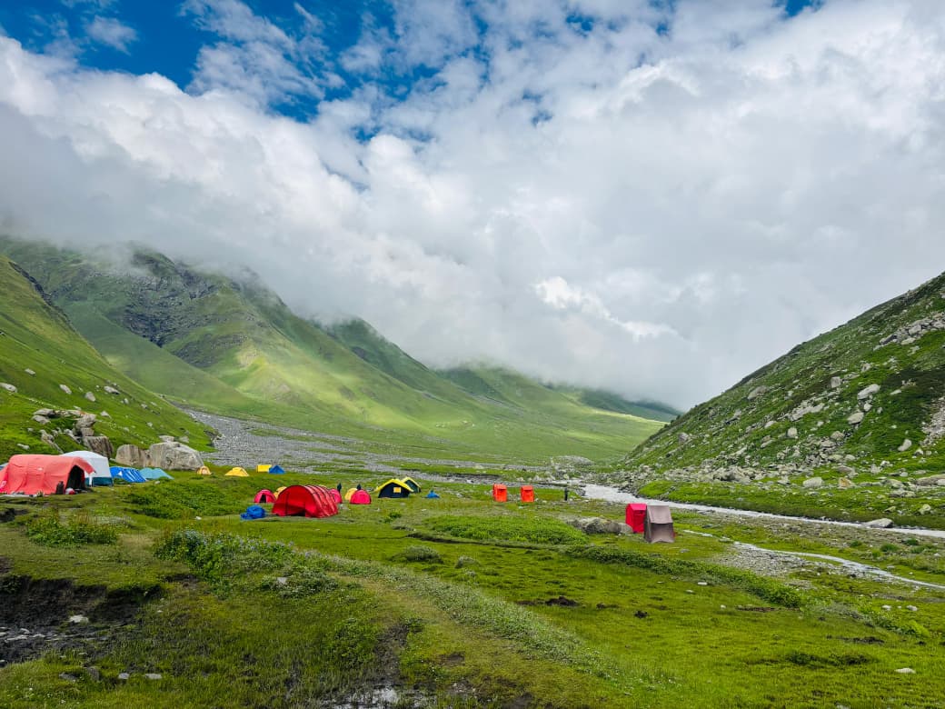
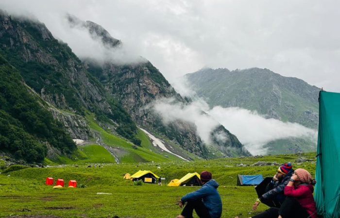
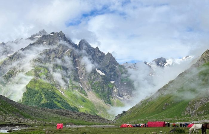
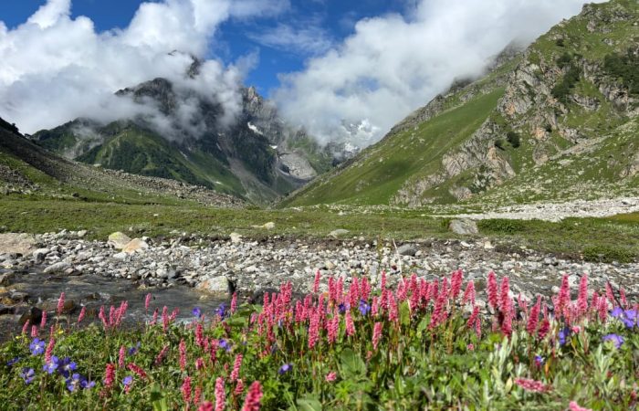
Leave Kara’s wide alpine meadows and begin a gradual but steady ascent along the Bhabha River’s glacial tributaries. The landscape shifts from grassy expanses to rocky moraine and high-altitude scrub, with crystal-clear streams crisscrossing the route. Snow-capped ridges loom closer as you gain elevation, offering spectacular views of the Hansbeshan Peak and surrounding ranges. Small glacial streams and boulder-strewn patches make the trail more challenging. By afternoon, arrive at Phustirang, a high-altitude campsite nestled below the Bhabha Pass, encircled by dramatic mountain walls—your base for the upcoming pass crossing.
In case of bad weather, natural delays, or other unforeseen difficulties, Day 5 is reserved as a Buffer Day. This will only be used if conditions at the last minute prevent the itinerary from continuing as planned.
⚠️ Important Note:
Trekkers are advised to plan their travel keeping the buffer day in mind.
If the buffer day is utilized, an additional fee of ₹2,000 + 5% GST per person will be charged.
The amount will be collected directly by the Trek Leader on the spot.
This ensures flexibility and safety without forcing trekkers to rush in case of unexpected situations.
Trek Distance: 13-15 km approx. | Trek Duration: 10-12 hrs approx. | Altitude: Bwalder – 3900m | GPS DATA
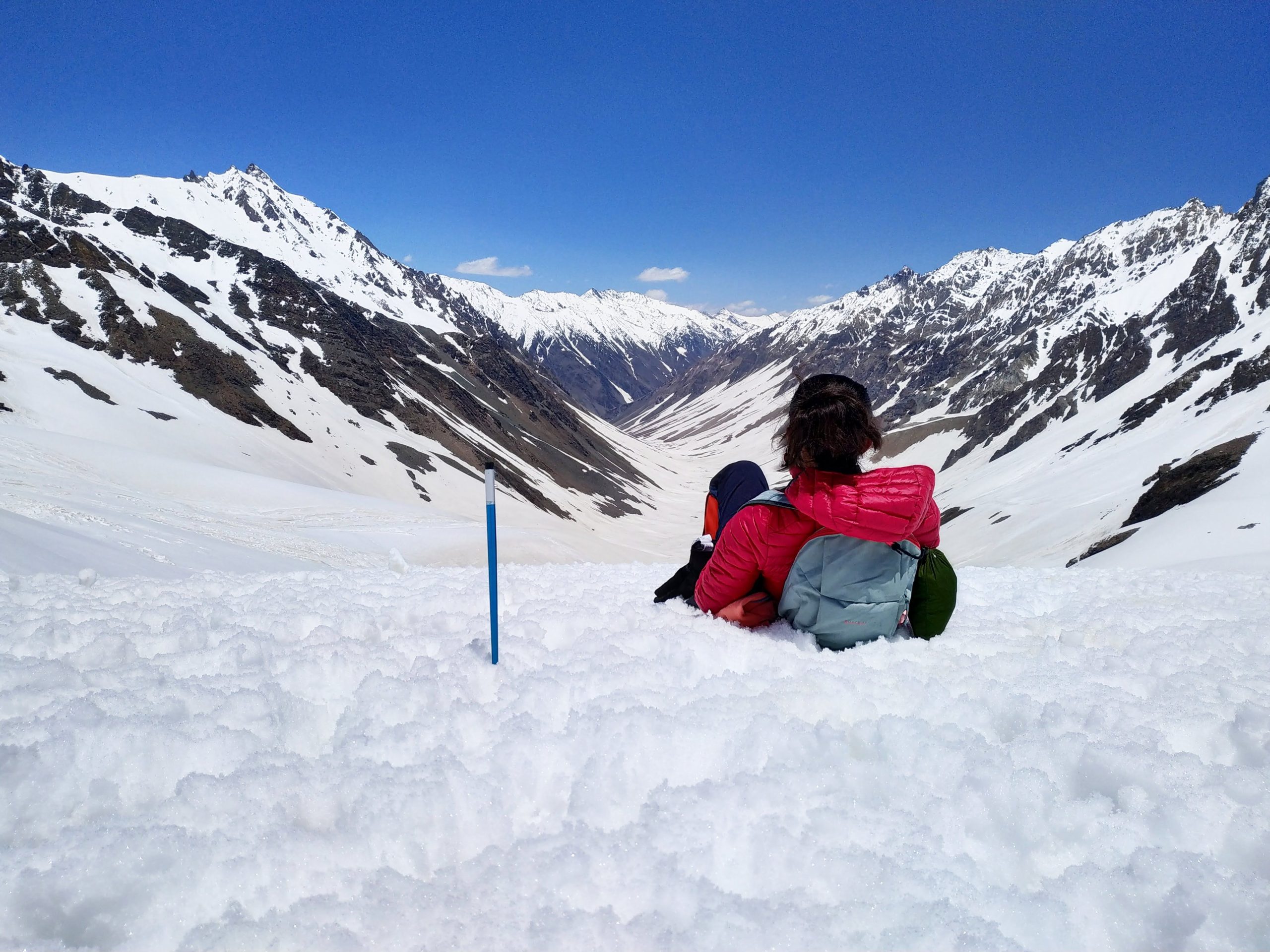
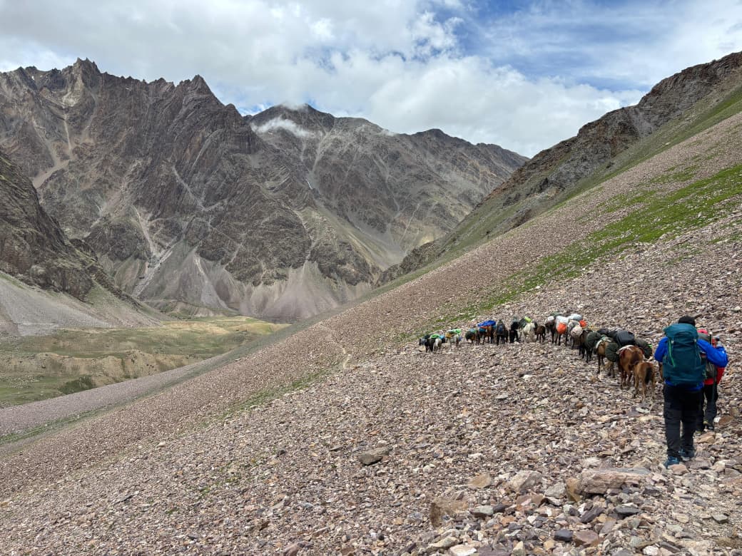
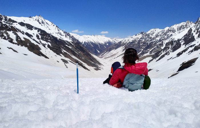
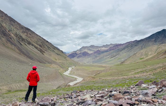
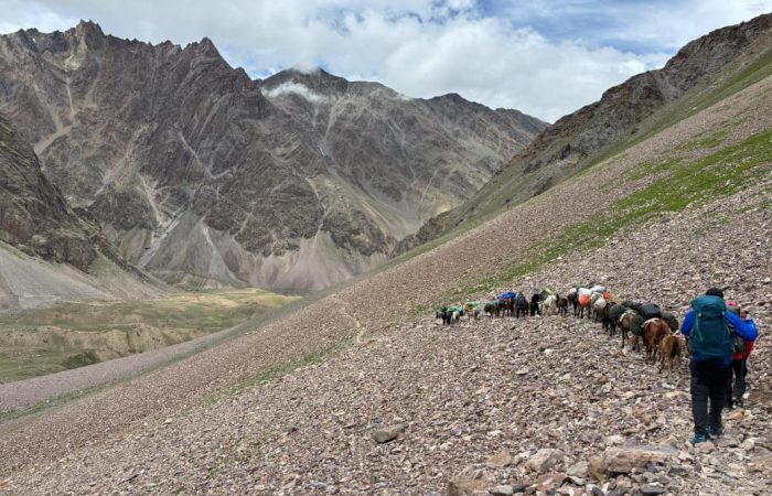
This is the most challenging and rewarding day of the trek. Start early from Phustirang, ascending steeply over rocky moraine and loose scree towards Pin Bhaba Pass. The climb is demanding, with thin air and cold winds, but offers breathtaking 360° views of the lush green Bhaba Valley on one side and the stark, barren beauty of Spiti on the other.
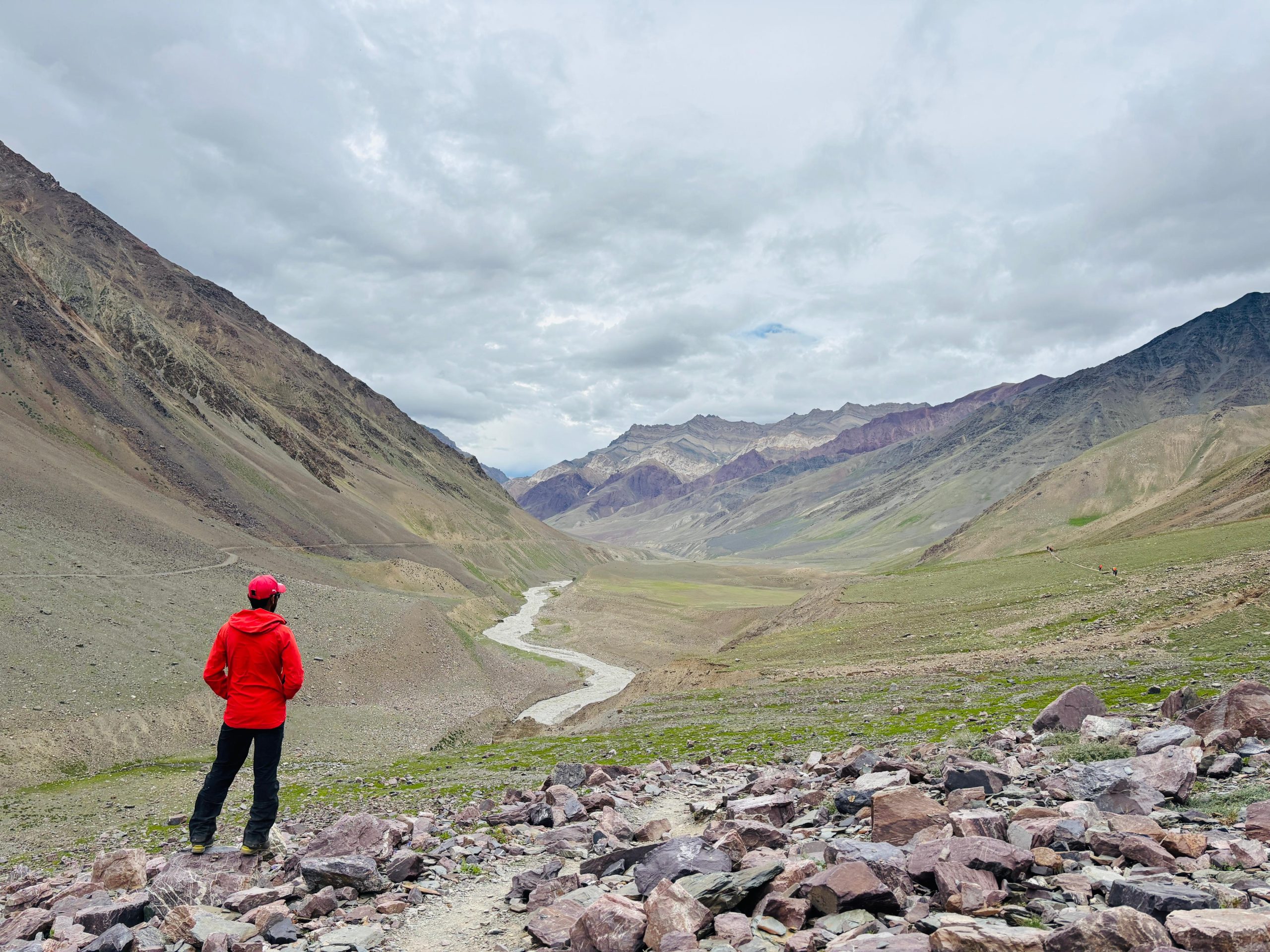
After soaking in the panoramic vistas from the 4915 m pass, begin the long descent into the Spiti side. The terrain changes dramatically—from snowfields and glacial slopes to dry, rugged landscapes with scattered patches of alpine grass. Cross small streams and navigate through scree sections before reaching Bwalder, a serene campsite surrounded by Spitian mountains. Rest well after this high-adventure day.
Trek Distance: 15 km approx. | Trek Duration: 6-7 hrs approx. | Drive Distance: 50km | Drive Duration: 2 hrs approx. | Altitude: Mudh village – 3810m | Kaza (3650m) | GPS DATA
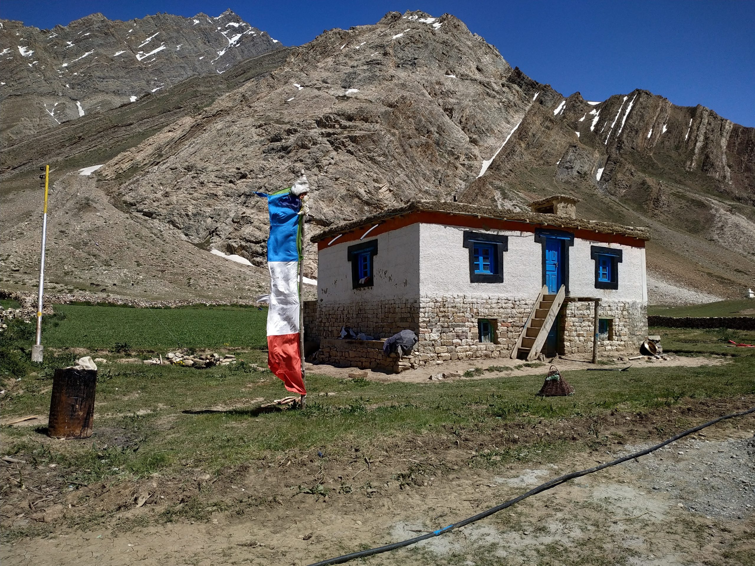
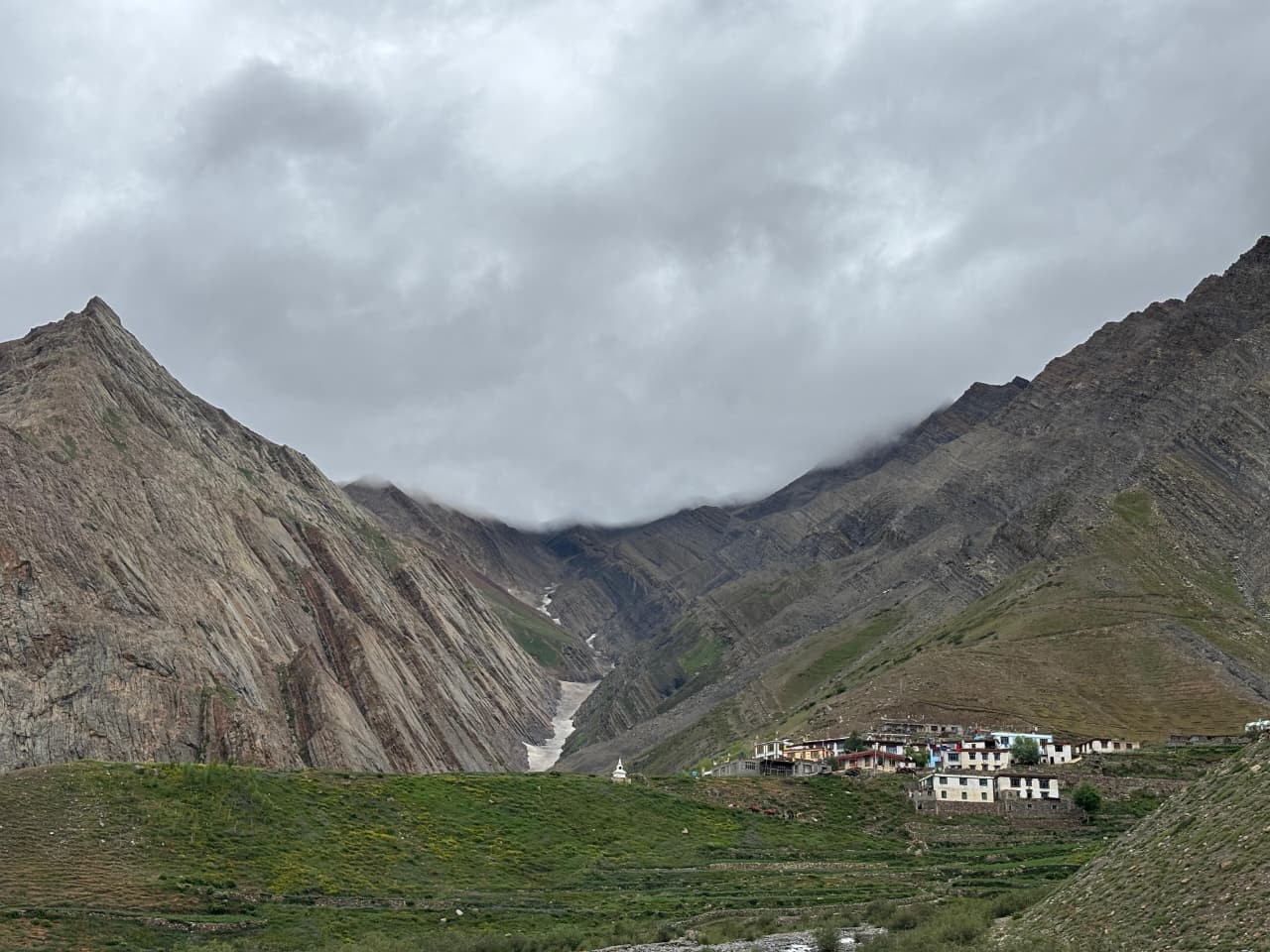
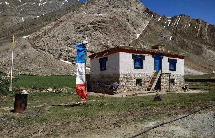
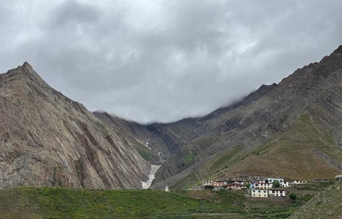
Begin your final trekking day with a gradual descent from Bwalder into the expansive Pin Valley. The trail is scenic yet stark, with barren mountains in shades of brown, red, and grey, dotted with tiny patches of green where streams flow. Pass chortens and mani walls as you approach Mudh Village, the first permanent settlement on the Spiti side—a charming hamlet with traditional whitewashed houses, colourful prayer flags, and friendly locals.
After reaching Mudh, board vehicles for a picturesque drive to Kaza, the administrative centre of Spiti. The road follows the Pin River, offering spectacular views of rugged cliffs, wide valleys, and distant snow peaks. Arrive in Kaza by evening, check into your accommodation, and enjoy a relaxed night in this high-altitude desert town.